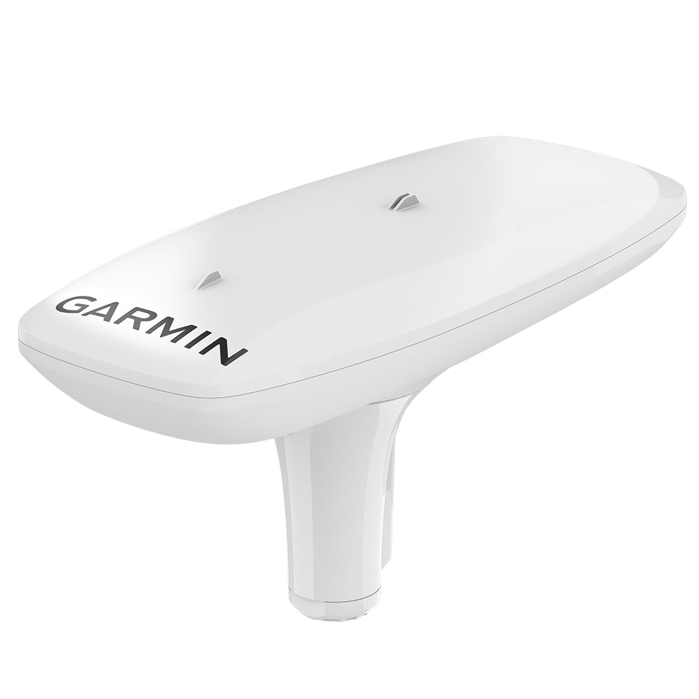
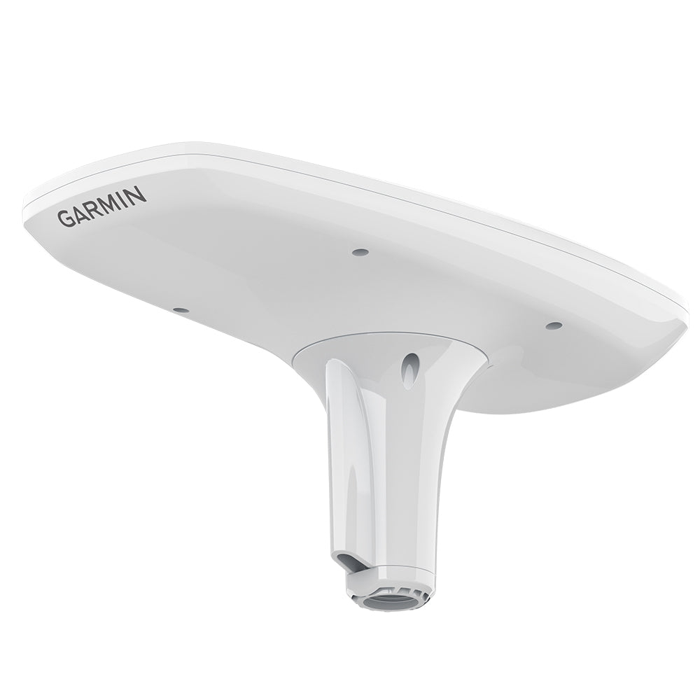
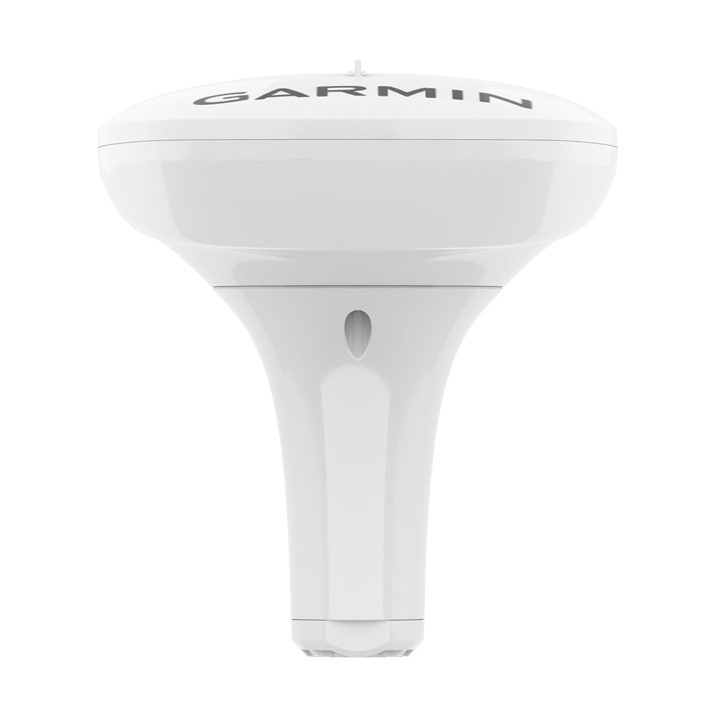
Garmin MSC 10 Marine Satellite Compass
Garmin MSC 10 Marine Satellite Compass is backordered and will ship as soon as it is back in stock.
Product Description
Product Description
The MSC 10 Marine Satellite Compass is a cutting-edge GPS-based compass engineered to provide boaters with precise and reliable heading information. Its seamless installation and integration into your marine setup ensure you stay on course, even in the most challenging maritime conditions.
Key Features
- Enhanced accuracy with a multi-band GNSS receiver supporting L1 and L5 GPS frequencies.
- Rapid 10 Hz update rate for more detailed and timely tracking information.
- Comprehensive environmental data including pitch, roll, and heave to navigate rough waters confidently.
- Compatible with various onboard systems requiring precise heading sensors.
Advanced GNSS Technology
The MSC 10 utilizes a multi-band GNSS receiver that supports both L1 and L5 GPS frequencies, along with multi-constellation capabilities including GPS, Galileo1, GLONASS, and BeiDou1. This ensures precise positioning2 with a less than 1 meter CEP and under 3 meters at 95% confidence.
Comprehensive Boat Dynamics Monitoring
Stay informed about your vessel's movements with accurate measurements of boat heave, pitch, and roll. The MSC 10 delivers reliable data even in rough seas, helping you maintain control and stability.
Integrated Attitude and Heading Reference System (AHRS)
Featuring a fully integrated AHRS, the MSC 10 provides superior GPS heading accuracy at all speeds. Whether you're dealing with pitching in rough seas, executing sharp turns, or maintaining a standstill, the AHRS ensures consistent performance.
High Precision Heading Data
Multiple receivers enable the MSC 10 to achieve heading accuracy within 2 degrees. By utilizing satellite signals, it eliminates concerns about magnetic interference, offering dependable and precise heading information.
Versatile Primary Sensor Integration
The MSC 10 can serve as the primary heading sensor for autopilots and other onboard systems that demand accurate heading data, ensuring seamless integration and reliable performance across your marine electronics.
NMEA 2000® Network Compatibility
Effortlessly transmit heading, pitch, roll, and heave data to your compatible Garmin chartplotter via the NMEA 2000 network. This integration facilitates streamlined communication between the MSC 10 and your marine navigation systems.
Easy Installation
Designed for simplicity, the MSC 10 is compact and straightforward to install. It integrates smoothly into your Garmin marine ecosystem, minimizing setup time and maximizing functionality.
Fast Update Rate
With a 10 Hz position update rate, the MSC 10 provides highly detailed and up-to-date tracking information, enhancing your situational awareness and navigational precision.
Reliable Backup Heading Sensor
In the rare event of a satellite signal loss, the MSC 10 automatically transitions to a magnetometer-based heading system3. This seamless switch ensures uninterrupted heading data, although magnetometer calibration is required for backup magnetic heading support.
What’s Included
- MSC-10 Marine Satellite Compass
- Pole mount
- Mounting hardware
- 6-meter NMEA 2000® backbone/drop cable
- NMEA 2000 T-connector
- Documentation
1 Supported when available.
2 < 1 meter CEP, < 3 meters 95%.
3 Magnetometer calibration required for backup magnetic heading support.
Delivery and Shipping
Delivery and Shipping
Orders of physical products placed by 3 PM EST M-F typically ships the same day, if all requested items are in stock. Weekend orders will typically ship on Monday.
Shipping takes 2-7 days.
We currently ship to the Contiguous 48 States.
Life of Sailing merch is custom made for the customer after an order is placed. Total turnaround is typically 7-14 days from order to doorstep.
Payment & Security
Payment methods
Your payment information is processed securely. We do not store credit card details.


