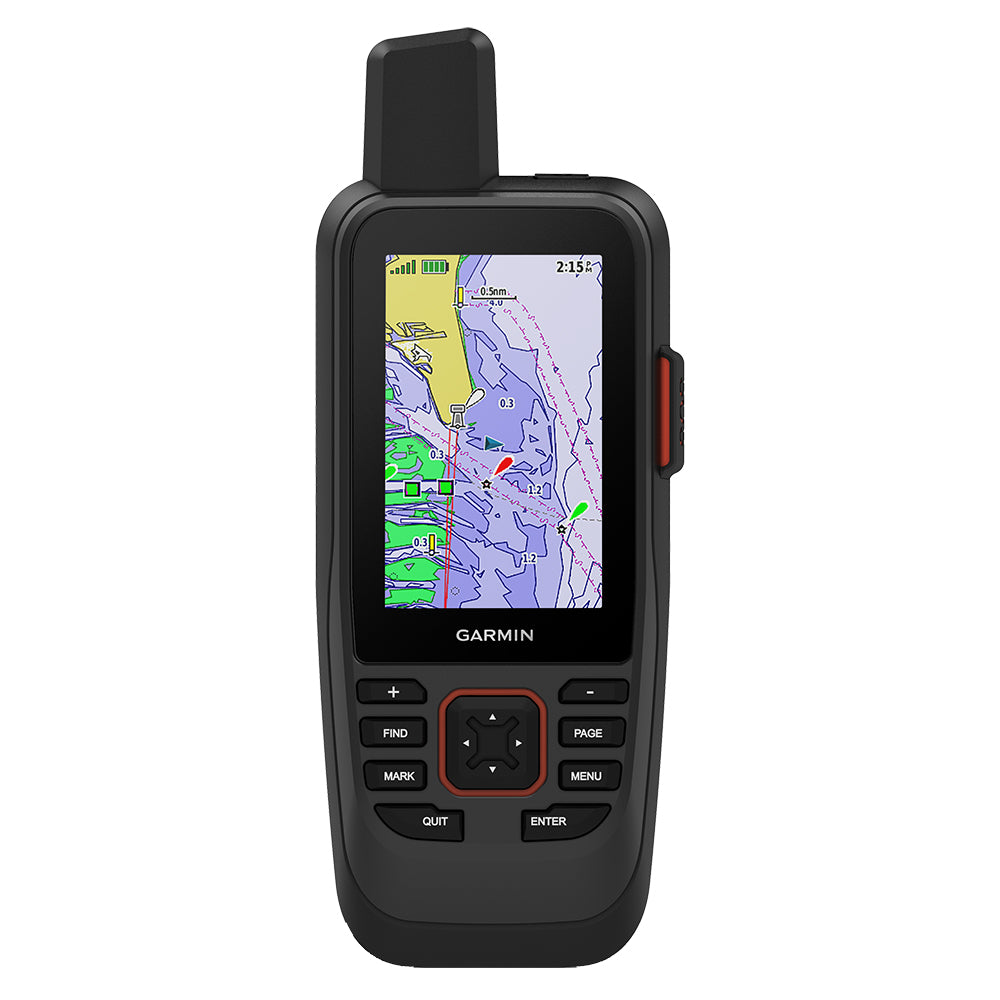
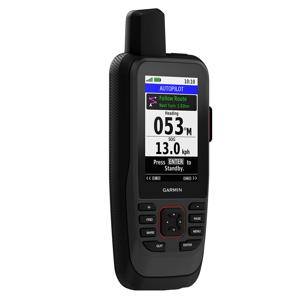
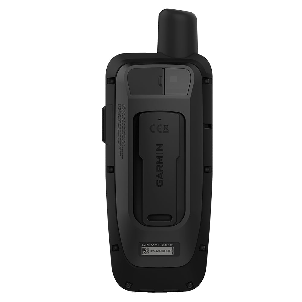
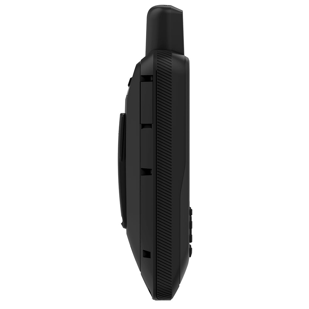
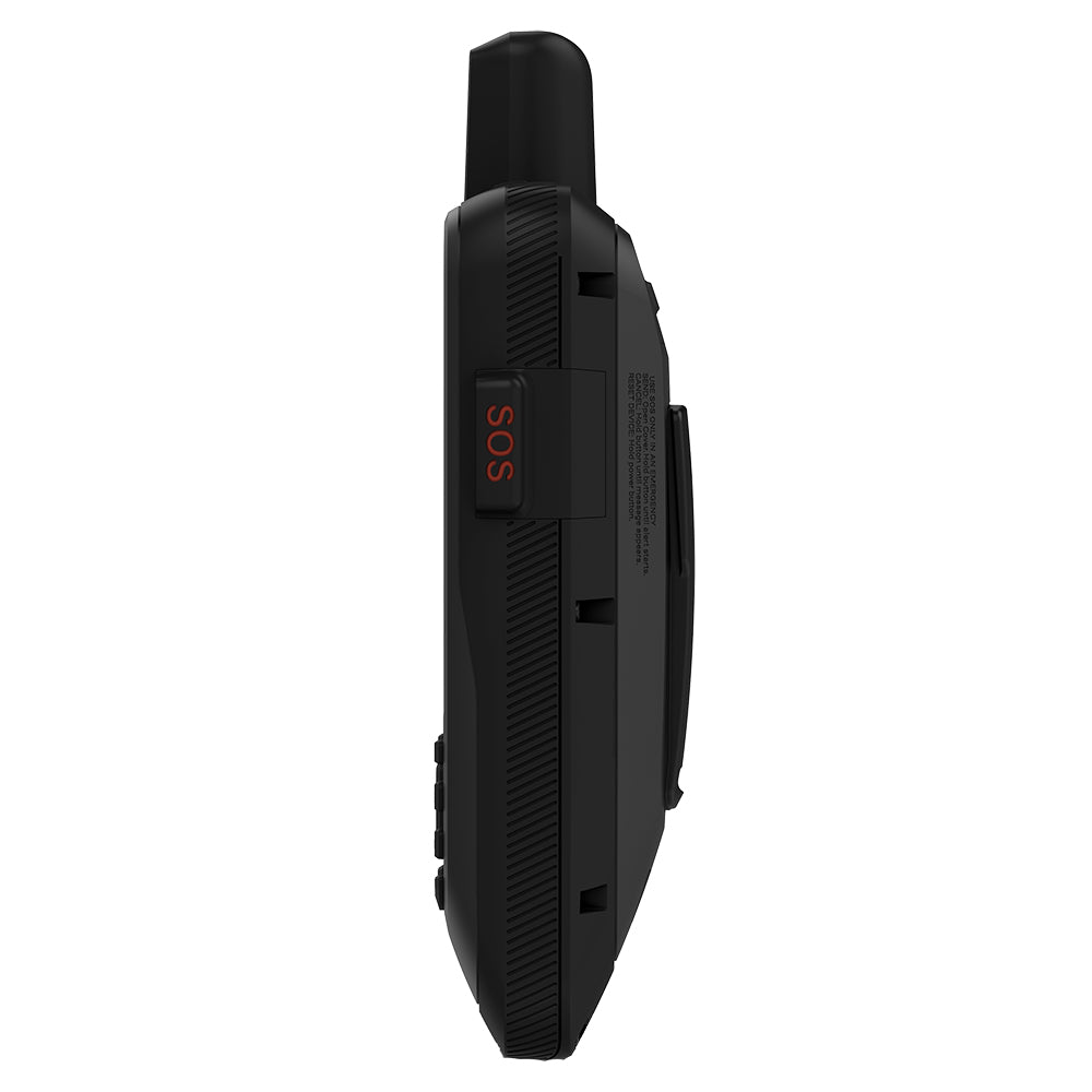
Garmin GPSMAP 86sci Handheld w/inReach BlueChart g3 Coastal Charts
Garmin GPSMAP 86sci Handheld w/inReach BlueChart g3 Coastal Charts is backordered and will ship as soon as it is back in stock.
Product Description
Product Description
Enhance your marine navigation with the GPSMAP® 86sci Handheld, a versatile and durable GPS device tailored for boating enthusiasts. Combining advanced navigation features, robust satellite communication, and seamless connectivity, this handheld navigator ensures you stay on course and connected, no matter where your adventures take you.
Key Features
- Durable and Marine-Ready: Water-resistant and designed to float, the GPSMAP 86sci boasts a sunlight-readable 3” color display and user-friendly button operation, making it perfect for use on the water.
- Seamless Connectivity: Stream boat data from compatible chartplotters and instruments, consolidating all your marine system information into one convenient handheld device.
- Comprehensive Cartography: Preloaded with BlueChart g3 coastal charts, the device integrates the best data from Garmin and Navionics® for detailed and reliable navigation.
- inReach® Satellite Communication: Stay connected globally with two-way text messaging and the ability to send interactive SOS signals via the 100% global Iridium® satellite network (subscription required).
- Remote Control Functionality: Operate your Garmin autopilot and select FUSION® marine products effortlessly from your handheld device.
- Enhanced Tracking Accuracy: An adjustable GPS filter ensures smooth speed and heading indications, even in rough sea conditions.
Connect with Your Boat
Integrate the GPSMAP 86sci with your compatible Garmin chartplotters and marine instruments to display real-time boat data directly on your handheld device. This integration not only consolidates your navigation information but also allows the GPSMAP 86sci to function as a remote control for your Garmin autopilot and select FUSION® marine products. The adjustable GPS filter enhances tracking accuracy by smoothing speed and heading data over swells, ensuring reliable navigation even in challenging conditions.
Reliable Satellite Communication
Equipped with built-in inReach satellite technology, the GPSMAP 86sci keeps you connected no matter where you are. With additional service options¹, you can send and receive two-way text messages, track and share your journey, and initiate an interactive SOS for emergency assistance through a 24/7 global monitoring center via the Iridium® satellite network. Additionally, receive up-to-date marine weather forecasts directly on your device, allowing you to make informed decisions based on current and forecasted conditions.
BlueChart® g3 Coastal Charts
The GPSMAP 86sci comes preloaded with BlueChart® g3 coastal charts, offering industry-leading coverage, clarity, and detail. These charts integrate data from Garmin and Navionics®, providing detailed 1’ contours for an accurate depiction of bottom structures, enhanced fishing charts, and precise details in swamps, canals, and port plans. Whether you're fishing, sailing, or cruising, BlueChart g3 ensures you have the most reliable maps for your journey.
Stay Connected Onboard
Pair your GPSMAP 86sci with a compatible smartphone to receive smart notifications directly on your handheld device. Sync with the Garmin Explore™ website for cloud management of your favorite waypoints, tracks, and routes. With Wi-Fi®, ANT+®, and BLUETOOTH® wireless technologies, updating and connecting is effortless. The internal rechargeable lithium battery offers up to 35 hours of use in 10-minute tracking mode and up to 200 hours in expedition mode², ensuring long-lasting performance for extended voyages.
What's in the Box?
- GPSMAP 86sci handheld with BlueChart® g3 for the U.S.
- Powered mount
- Lanyard
- USB to Micro USB cable
- USB to 2 pin cable
- Mounting hardware
- Documentation
 WARNING: This product can expose you to chemicals which are known to the State of California to cause cancer, birth defects or other reproductive harm. For more information go to P65Warnings.ca.gov.
Specifications
| Feature | Details |
|---|---|
| Waypoints/Routes | 10,000/250 |
| Screen Type | Color |
| Screen Size | 3" |
| Memory Type | Both |
| Cartography Brand | Garmin |
| Cartography - Preloaded | Yes |
| Card Format | Micro SD |
| Built-In Memory | 16 GB |
| Battery Type | Lithium Ion |
| Touchscreen | No |
| Internal/External Antenna | Internal |
| Box Dimensions | 4"H x 6"W x 9"L |
| Weight | 1.6 lbs |
| UPC | 753759228873 |
¹Satellite subscription required
²Battery life may vary depending on usage; battery is user-replaceable
NOTICE: Some jurisdictions regulate or prohibit the use of satellite communications devices. It is the responsibility of the user to know and follow all applicable laws in the jurisdictions where the device is intended to be used.
Wi-Fi is a registered trademark of the Wi-Fi Alliance. The Bluetooth word mark and logos are registered trademarks owned by Bluetooth SIG, Inc. and any use of such marks by Garmin is under license. Sirius, XM and all related marks and logos are trademarks of Sirius XM Radio Inc.
Delivery and Shipping
Delivery and Shipping
Orders of physical products placed by 3 PM EST M-F typically ships the same day, if all requested items are in stock. Weekend orders will typically ship on Monday.
Shipping takes 2-7 days.
We currently ship to the Contiguous 48 States.
Life of Sailing merch is custom made for the customer after an order is placed. Total turnaround is typically 7-14 days from order to doorstep.
Payment & Security
Payment methods
Your payment information is processed securely. We do not store credit card details.


